


Luverne Twp. P-2, Rock County, Minnesota
About
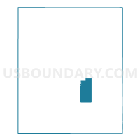
Outline

Summary
| Unique Area Identifier | 604110 |
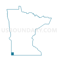
| Name | Luverne Twp. P-2 |
| County | Rock County |
| State | Minnesota |
| Area (square miles) | 8.46 |
| Land Area (square miles) | 8.38 |
| Water Area (square miles) | 0.07 |
| % of Land Area | 99.13 |
| % of Water Area | 0.87 |
| Latitude of the Internal Point | 43.62343310 |
| Longtitude of the Internal Point | -96.18301020 |
Maps

Graphs
Select a template below for downloading or customizing gragh for Luverne Twp. P-2, Rock County, Minnesota


Neighbors
Neighoring Voting District (by Name) Neighboring Voting District on the Map
- Clinton Twp. Voting District, Rock County, MN
- Kanaranzi Twp. Voting District, Rock County, MN
- Luverne Twp. P-1, Rock County, MN
- Luverne W-1 NE, Rock County, MN
- Luverne W-2 SE, Rock County, MN
- Magnolia Twp. Voting District, Rock County, MN
Top 10 Neighboring County Subdivision (by Population) Neighboring County Subdivision on the Map
- Luverne city, Rock County, MN (4,745)
- Luverne township, Rock County, MN (479)
- Clinton township, Rock County, MN (277)
- Kanaranzi township, Rock County, MN (247)
- Magnolia township, Rock County, MN (212)